

Quick answer
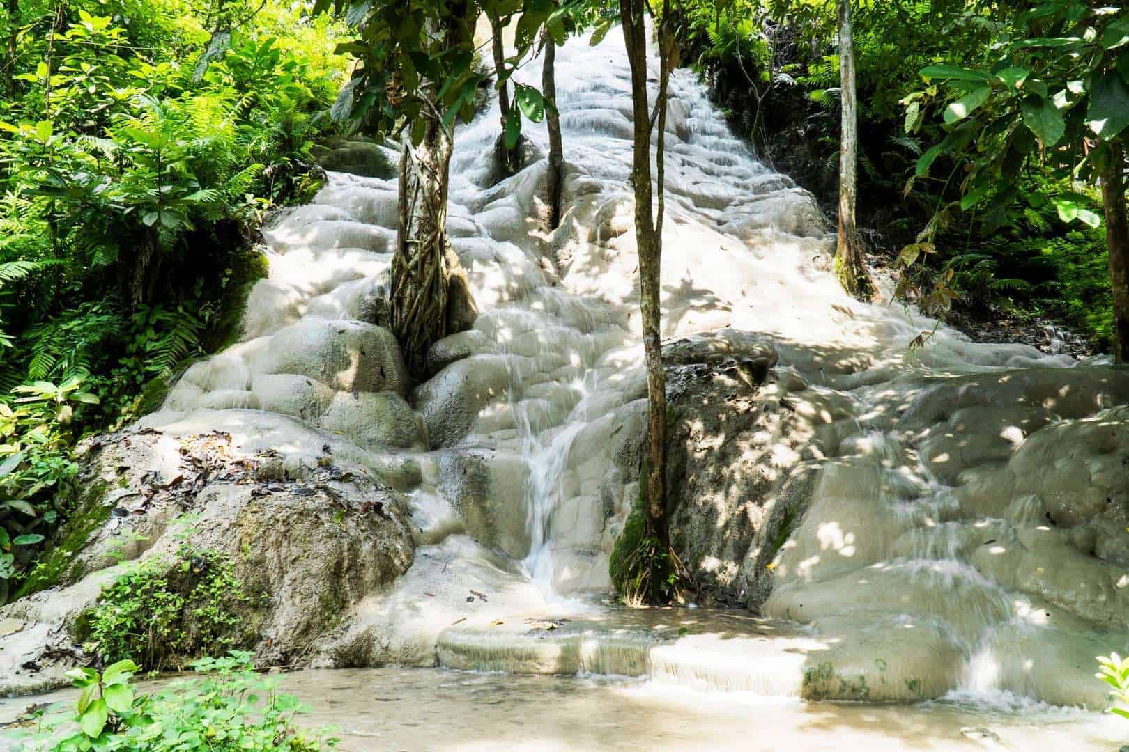
Sticky Waterfall (Nam Tok Bua Tong) sits at Moo 8, Mae Ho Phra, Mae Taeng District, Chiang Mai 50150, roughly 60 kilometres north of the old city. Entry is free and the gates open daily from 08:00 to 17:00. For the calmest conditions, aim for the 08:00–10:00 window, before the heat and afternoon tour groups arrive.
The rock at Bua Thong does not behave like ordinary waterfall stone. Instead of a slick coat of algae, its pale surface carries a crust of calcium carbonate — the porous mineral known as tufa — that grips bare feet like coarse sandpaper. That single quirk explains why a sticky waterfall chiang mai map earns its place in so many trip plans: the falls sit well outside the city, and reaching them is half the outing. Officially named Nam Tok Bua Tong, the cascade lies in Mae Taeng District, roughly sixty kilometres north of the old town at Moo 8, Mae Ho Phra. The final approach leaves the main highway for a quieter rural road, and the last stretch is easy to miss without a clear reference point. This is why so many visitors study a Bua Thong waterfall map before setting out rather than trusting a single road sign. Entry is free, and the gates keep the same hours every day of the week, so the planning question is less about cost and more about position and timing. Understanding where the site sits also clarifies how long a trip needs. The distance means a return journey and time at the falls rarely fits neatly into a spare hour; most travellers treat it as a half-day among Chiang Mai landmarks. The reward is a climbable limestone face fed by the nearby Sri Sangwan Spring, plus shaded picnic ground at the top. Read alongside the site's opening hours and getting-there pages, a clear Bua Thong route reference turns a vague location into a firm plan. Arrive within the early window and the parking area is calm, the rock is dry, and the descent is unhurried. A good sticky waterfall chiang mai map does not just show a pin on a screen — it sets expectations for a place that rewards early starts and patient footing over any rush.
“The rock does not repel water so much as invite feet: a mineral crust that grips like coarse sandpaper.”
Plotting Your Route: Navigating to the Park with a Sticky Waterfall Chiang Mai Map
Bua Tong Waterfall is situated in the Mae Taeng District, roughly 60 kilometers north of Chiang Mai’s historic center. Visitors can navigate here by heading north along Highway 1001, which winds through scenic rural areas and local villages before reaching the entrance road.
Highway 1001 north past Mae Jo University, turning right at the forest park sign onto the entry road
Private songthaew or Grab car from central Chiang Mai directly to the main parking lot
Prempracha Bus from Chang Phueak Bus Terminal 1 to the Route 1001 junction, followed by a 3 km walk
Sights and Tiers: Navigating the Site Using a Sticky Waterfall Chiang Mai Map
The Bua Tong Sticky Waterfalls are laid out along a steep forested slope, fed by a central natural spring. Navigating the park involves descending a series of trails to explore three distinct climbable tiers before visiting the source spring.
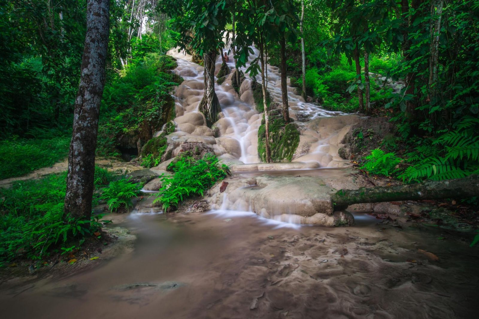
Tier 1 (Upper Level)
This initial section sits just below the park entrance and features gentle limestone slopes. Shaded picnic tables surround shallow pools where the mineral-rich water begins its descent.
Climb down early in the morning when the rocks are completely empty.
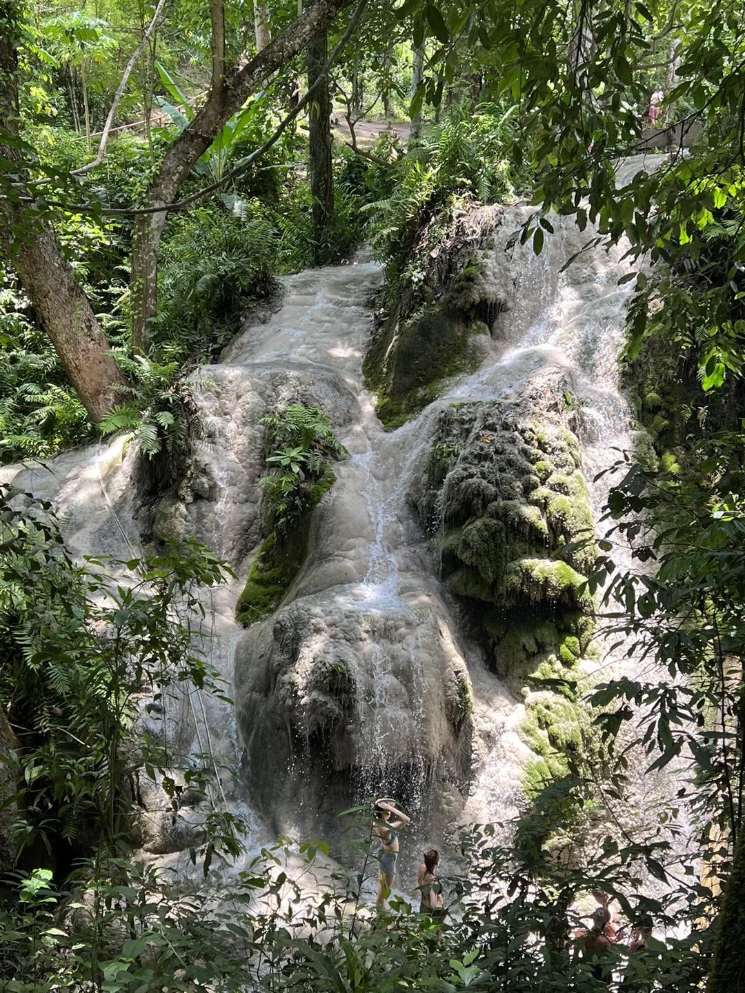
Tier 2 (Middle Level)
The middle tier showcases the bubble-like limestone domes that provide the traction for climbing barefoot. Ropes are anchored to the trees to assist visitors scaling the steeper vertical sections.
Grip the safety ropes firmly when transitioning between the limestone steps.
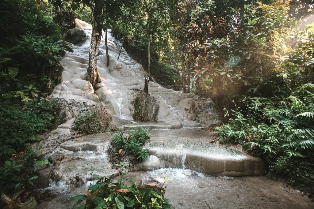
Tier 3 (Bottom Level)
As the steepest of the climbable tiers, this lowest level ends in a dense bamboo forest. The limestone here is highly textured, allowing climbers to walk directly up the face of the rushing water.
Stand at the base to look up at the entire cascade.
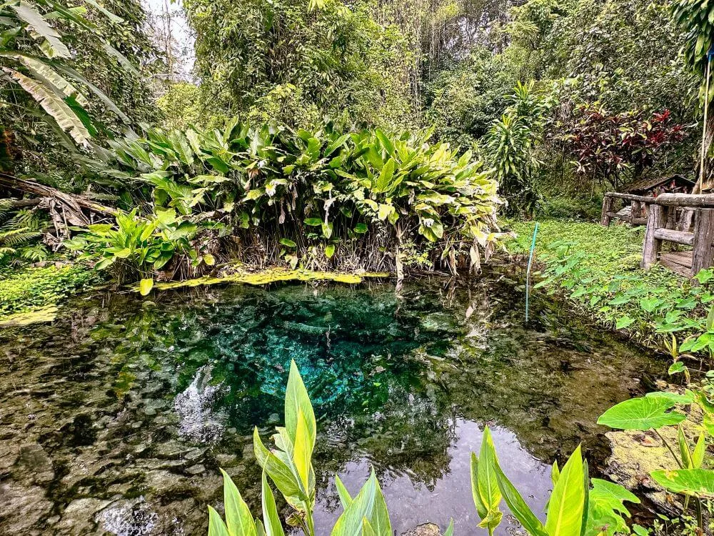
Nam Phu Chet Si Spring
This sacred spring is the source of the calcium-carbonate water that creates the waterfall's unique texture. Visitors can view the deep blue geyser pool from an elevated wooden-style concrete walkway.
Observe the bubbling water from the designated platform; swimming is prohibited.
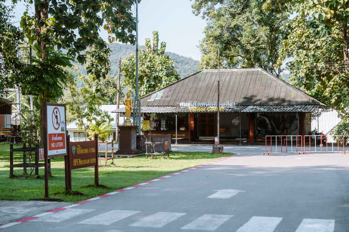
Visitor Parking and Entry Hub
Positioned at the top of the park, this area serves as the starting point for all navigation. It contains basic food stalls, public restrooms, and a large physical map showing the trail layouts.
Use the lockers here to store dry clothes before heading down.
Trail Difficulty and Physical Access on the Sticky Waterfall Chiang Mai Map
The park provides paved, level pathways around the top picnic grounds and upper viewpoints, but accessing the main waterfall tiers requires descending a steep wooden and concrete staircase. Consequently, visitors with physical mobility challenges can easily enjoy the upper gardens, while the active climbing paths and the 100 steps down to the base are not accessible.
Smooth paved paths allow visitors using mobility devices to navigate the flat upper picnic grounds and viewpoints.
Accessing the lower cascades requires descending a steep, narrow staircase of 100 steps with handrails.
No elevator systems are available to bypass the stairs or transport visitors between the different tiers.
Public restrooms located near the main entrance are basic and lack dedicated wheelchair-accessible stalls.
Arriving during the recommended window of 08:00–10:00 offers a quieter environment before the afternoon crowds arrive.
Connecting Nearby Destinations: Creating Your Custom Mae Taeng Route Map
To build a complete Mae Taeng day trip, travelers can coordinate a route through the district to visit neighboring cultural and recreational sites. Combining these nearby locations minimizes transit time from Chiang Mai and provides a balance of active outdoor exploration, local photography spots, and cultural sightseeing.

Wat Ban Den
This massive temple complex features striking blue-tiled roofs, intricate teak carvings, and large white mythological guardian sculptures. It offers a quiet cultural stop that contrasts with the active climbing experience at the waterfall.
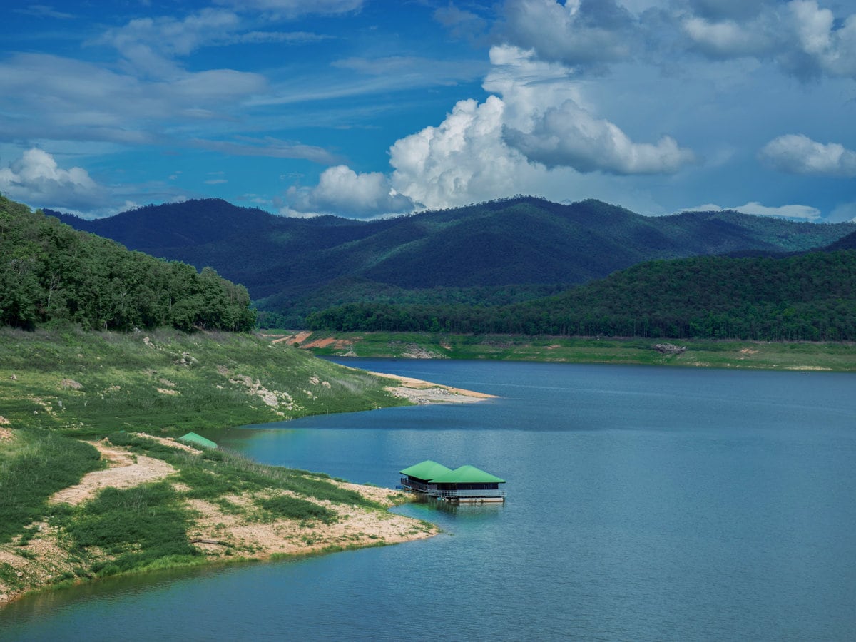
Mae Ngat Dam
Located in the same national park boundaries, this large reservoir features floating bamboo houseboats and local restaurants. Visitors can rent a longtail boat or kayak to relax on the calm waters after their morning hike.
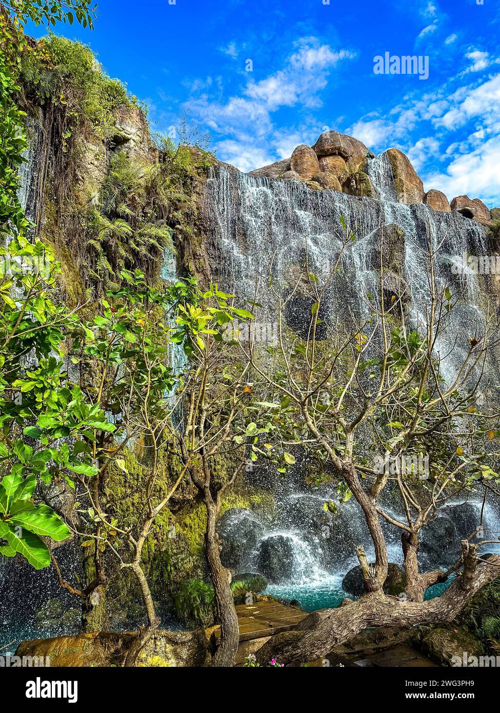
Dantewada Land of Angels
This themed park features artificial limestone cliffs, mist-shrouded gardens, caves, and cafes. It serves as a popular photography stop on the way back toward the main highway to Chiang Mai.
Check availability
FAQ: sticky waterfall chiang mai map
Everything you need to know about sticky waterfall chiang mai map